ملف:A large blank world map with oceans marked in blue.PNG

حجم البروفه دى: 800 × 404 بكسل. الأبعاد التانيه: 320 × 162 بكسل | 640 × 323 بكسل | 1,024 × 517 بكسل | 1,280 × 647 بكسل | 2,560 × 1,294 بكسل | 4,977 × 2,515 بكسل.
الصوره الاصليه (4,977 × 2,515 بكسل حجم الفايل: 284 كيلوبايت، نوع MIME: image/png)
الخلاصة
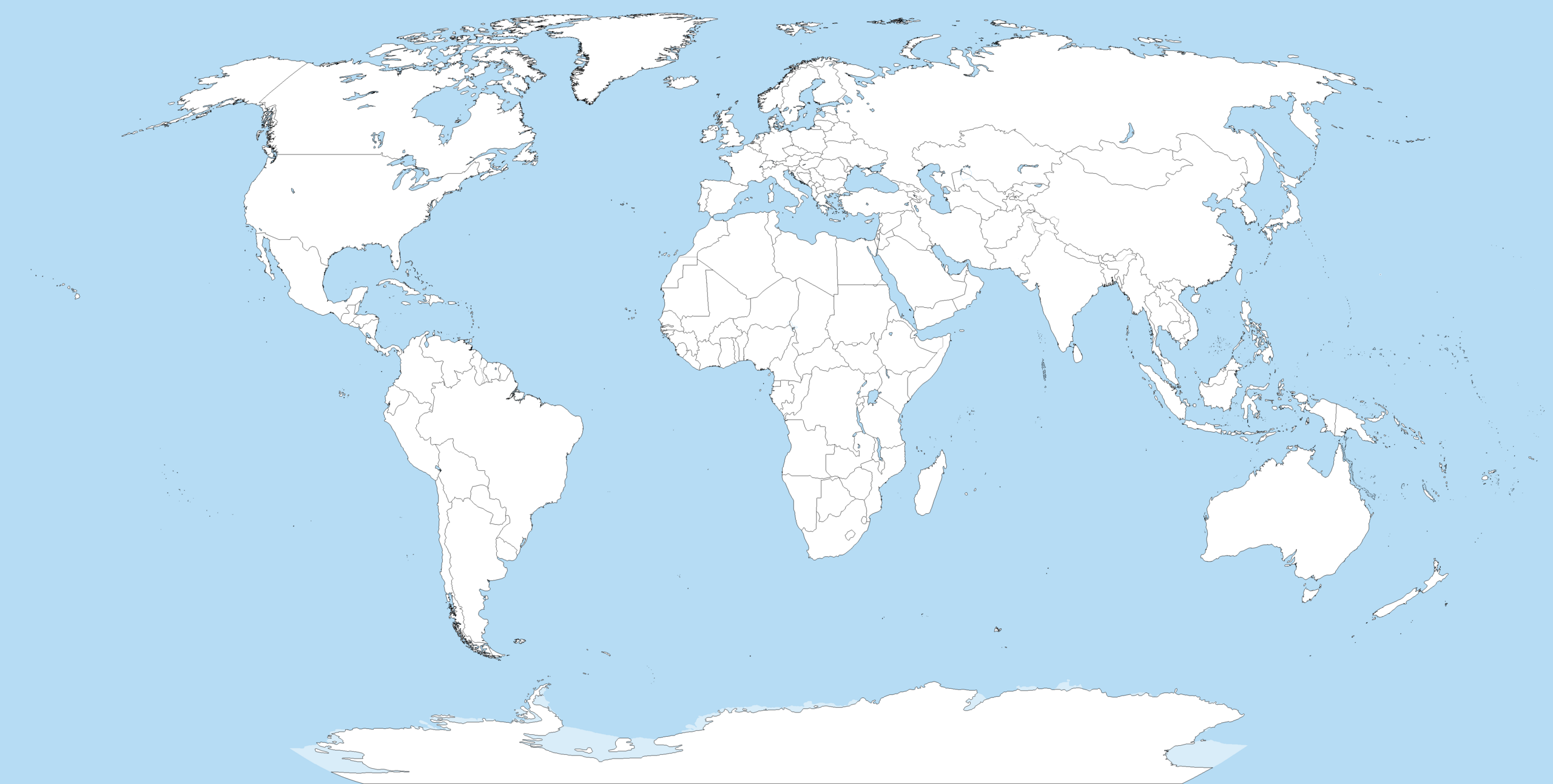
Blank political world map derived from svg map. It uses the Robinson projection.

|
يُمثِّل: File:A large blank world map with oceans marked in blue.svg نسخةً شعاعيَّةً لهذه الصورة. ينبغي أن تستخدم الصورة الشعاعيَّة عندما تكون أعلى جودةً مِن الصورة النقطيَّة.
File:A large blank world map with oceans marked in blue.PNG → File:A large blank world map with oceans marked in blue.svg
للمزيد من المعلومات، راجع صفحة Help:SVG. |
 |
الترخيص
أنا، صاحب حقوق التأليف والنشر لهذا العمل، أنشر هذا العمل تحت الرخص التالية:

|
يسمح بنسخ و توزيع و / أو تعديل الوثيقه دى تحت شروط رخصة جنو للوثائق الحره، الإصدار 1.2 أو أى إصدار تنشره مؤسسة البرمجيات الحره؛ بدون أقسام ثابته و بدون نصوص أغلفه أماميه و بدون نصوص أغلفه خلفيه. نسخه من الرخصه متضمنه ف قسم اسمه GNU Free Documentation License. |
| الملف ده مترخص حسب رخصة المشاع الإبداعى نسبة المصنف للى مألفه - المشاركة بالمثل 3.0 العامه | ||
| ||
| تمت إضافة علامة الترخيص لهذا الملف كجزء من رخصة جنو للوثائق الحرة تحديث الترخيص. |
- إنت حر:
- فى المشاركه – علشان نسخ و توزيع و بث العمل
- إنك تمزج – فى تكييف العمل
- بالشروط دى:
- نسبه ل – لازم يتنسب العمل للى مألفه بشكل مناسب و توفير رابط للرخصه وتحديد اذا حصلت تغييرات. ممكن ده يتعمل بأى طريقه معقوله، لكن مش بطريقه تشير ان مانح الرخصه بيوافقك على الاستعمال.
- مشاركه زي – لو عدت إنتاج المواد أو غيرت فيها، لازم تنشر مساهماتك اللى جايه من الأصل تحت ترخيص الأصل نفسه أو تحت ترخيص متوافق معاه.
اختار الرخصه اللى تناسبك.
Derivative works
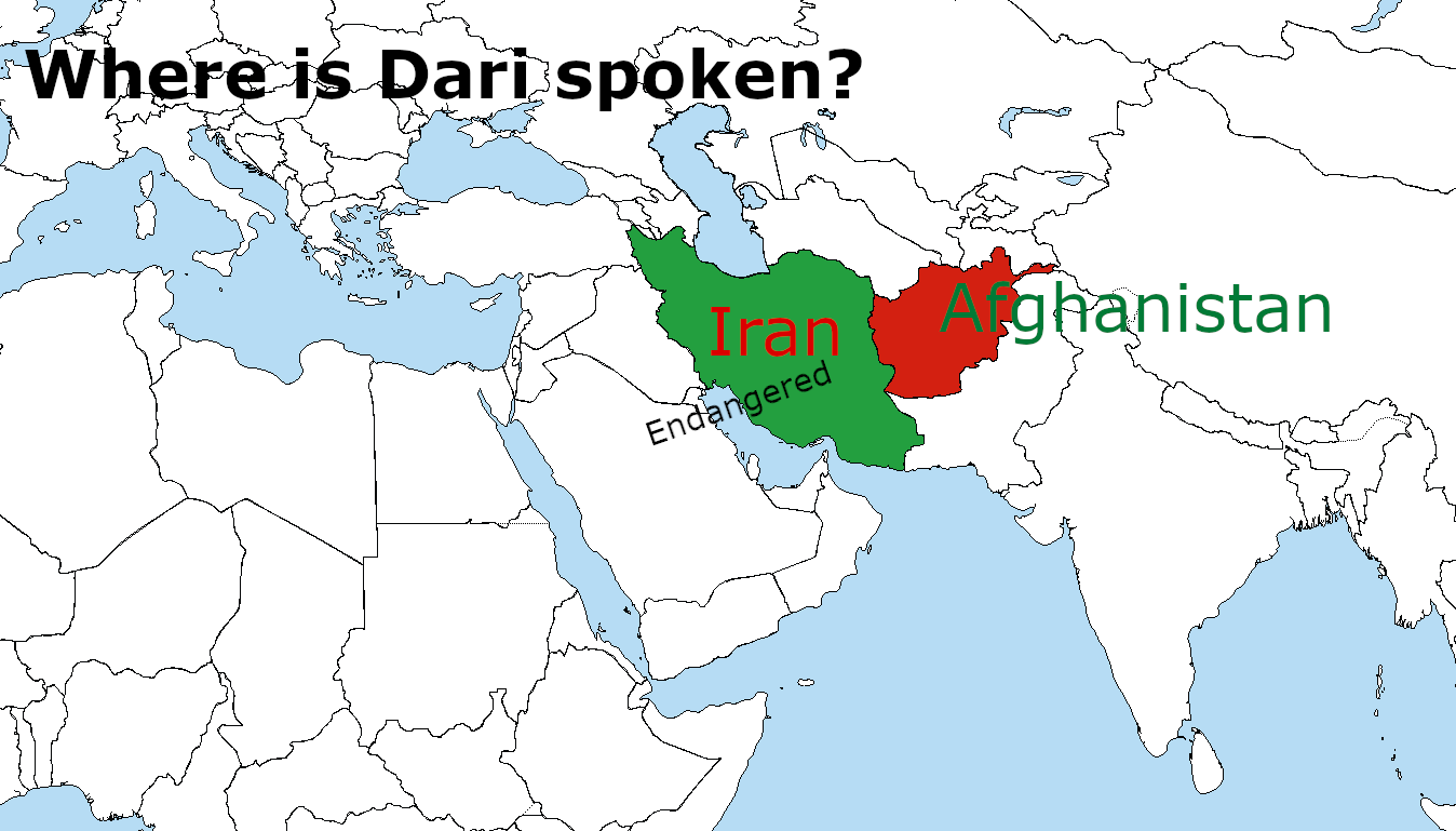
Derivative works of this file:
Derivative works of this file: Where is Dari Spoken? WhereisDariSpoken_MantraLingua.png
تاريخ الفايل
اضغط على الساعه/التاريخ علشان تشوف الفايل زى ما كان فى الوقت ده.
| الساعه / التاريخ | صورة صغيرة | ابعاد | يوزر | تعليق | |
|---|---|---|---|---|---|
| دلوقتي | 09:36، 28 يونيه 2024 | | 4,977 × 2,515 (284 كيلوبايت) | MisterTemporary | Changed antarctic ice cap color back to before. |
| 19:33، 27 يونيه 2024 |  | 4,977 × 2,515 (189 كيلوبايت) | JhonGame1 | I Replace the red to dotted line | |
| 09:23، 26 يونيه 2024 |  | 4,977 × 2,515 (285 كيلوبايت) | MisterTemporary | Image had more colors than it should've, now has only 5 colors, fixed some disputes too. | |
| 23:28، 17 يونيه 2024 |  | 4,977 × 2,515 (290 كيلوبايت) | MisterTemporary | 1px thick borders, disputes shown in red, Eastern Pacific now fully shown, and some other fixes. | |
| 18:40، 3 يونيه 2023 |  | 4,500 × 2,592 (233 كيلوبايت) | DownwardSpiral1000 | The U.N. shows Donbass and Crimea as part of Ukraine, stop editing the map | |
| 19:34، 19 مايو 2023 |  | 4,500 × 2,583 (189 كيلوبايت) | Yann | Reverted to version as of 16:49, 17 May 2023 (UTC) | |
| 01:41، 19 مايو 2023 |  | 4,500 × 2,592 (233 كيلوبايت) | PedroDuqueSantiago | Reverted to version as of 15:48, 14 May 2023 (UTC) | |
| 16:49، 17 مايو 2023 |  | 4,500 × 2,583 (189 كيلوبايت) | JhonGame1 | Reverted to version as of 06:06, 13 May 2023 (UTC) | |
| 15:48، 14 مايو 2023 |  | 4,500 × 2,592 (233 كيلوبايت) | Eurohunter | Reverted to version as of 11:53, 13 April 2023 (UTC) incorrect | |
| 06:06، 13 مايو 2023 |  | 4,500 × 2,583 (189 كيلوبايت) | JhonGame1 | kosovo |
استخدام الفايل
مافيش صفحات بتوصل للفايل ده.
استخدام الملف العام
الويكيات التانيه دى بتستخدم الفايل ده:
- الاستخدام ف en.wikipedia.org
- الاستخدام ف it.wikibooks.org
- الاستخدام ف pt.wikipedia.org