ملف:Baltimore osm-mapnik location map.png
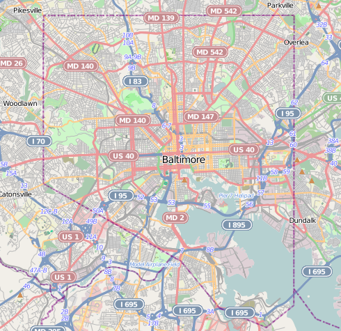
Baltimore_osm-mapnik_location_map.png (490 × 475 بكسل حجم الفايل: 349 كيلوبايت، نوع MIME: image/png)
تاريخ الفايل
اضغط على الساعه/التاريخ علشان تشوف الفايل زى ما كان فى الوقت ده.
| الساعه / التاريخ | صورة صغيرة | ابعاد | يوزر | تعليق | |
|---|---|---|---|---|---|
| دلوقتي | 21:29، 13 ديسمبر 2012 |  | 490 × 475 (349 كيلوبايت) | Alexrk2 | {{Information |Description={{en|1=Map of Baltimore Geographic limits of the map: * N: 39.3805° * S: 39.1953° * W: -76.7426° * E: -76.4957° }} |Source=http://www.openstreetmap.org |Author=OpenStreetMap contributors |Date=2012-12 |Permission=Cart... |
استخدام الفايل
ال1 صفحة دى فيها وصله للفايل ده:
استخدام الملف العام
الويكيات التانيه دى بتستخدم الفايل ده:
- الاستخدام ف ar.wikipedia.org
- الاستخدام ف bh.wikipedia.org
- الاستخدام ف ceb.wikipedia.org
- الاستخدام ف en.wikipedia.org
- NS Savannah
- Oriole Park at Camden Yards
- M&T Bank Stadium
- SS John W. Brown
- USCGC Taney
- Inner Harbor
- USS Torsk
- United States lightship Chesapeake (LV-116)
- Fell's Point, Baltimore
- Westminster Hall and Burying Ground
- B&O Railroad Museum
- Locust Point, Baltimore
- Federal Hill, Baltimore
- Hampden, Baltimore
- Little Italy, Baltimore
- Congregation Tiferes Yisroel
- Canton, Baltimore
- Bolton Hill, Baltimore
- Phoenix Shot Tower
- Pigtown, Baltimore
- Lyric Baltimore
- Peale Museum
- Armistead Gardens, Baltimore
- Mount Washington, Baltimore
- Curtis Bay, Baltimore
- Abell, Baltimore
- Template:Infobox hospital
- Baltimore Hebrew Congregation
- Reservoir Hill, Baltimore
- Upton, Baltimore
- Butchers Hill, Baltimore
- Washington Hill, Baltimore
- McElderry Park, Baltimore
- Carrollton Viaduct
- Cylburn Arboretum
- Loudon Park National Cemetery
- Jewish Museum of Maryland
- Greektown, Baltimore
- Highlandtown, Baltimore
- Brewers Hill, Baltimore
- Hamilton Hills, Baltimore
- Union Square, Baltimore
- Dickeyville Historic District
اعرض استخدام عام اكتر للملف ده.

