ملف:Cheshire UK location map.svg

حجم معاينة PNG لذلك الملف ذي الامتداد SVG: 778 × 599 بكسل. الأبعاد التانيه: 312 × 240 بكسل | 623 × 480 بكسل | 997 × 768 بكسل | 1,280 × 986 بكسل | 2,560 × 1,973 بكسل | 1,425 × 1,098 بكسل.
الصوره الاصليه (ملف SVG، اساسا 1,425 × 1,098 بكسل، حجم الملف: 2.23 ميجابايت)
| وصف |
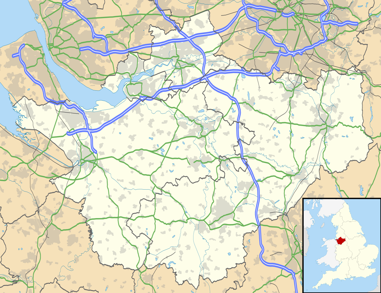
Map of Cheshire, UK with the following information shown:
Equirectangular map projection on WGS 84 datum, with N/S stretched 165% Geographic limits:
|
| تاريخ | |
| مصدر |
|
| مؤلف | Nilfanion, created using Ordnance Survey data |
| سماح (إعادة استخدام الملف ده) |
الملف ده مترخص حسب رخصة المشاع الإبداعى نسبة المصنف للى مألفه - المشاركة بالمثل 3.0 العامه نسبه ل: Contains Ordnance Survey data © Crown copyright and database right
|
| إصدارات أخرى | File:Cheshire UK district map (blank).svg - Blank map |
.svg)
تاريخ الفايل
اضغط على الساعه/التاريخ علشان تشوف الفايل زى ما كان فى الوقت ده.
| الساعه / التاريخ | صورة صغيرة | ابعاد | يوزر | تعليق | |
|---|---|---|---|---|---|
| دلوقتي | 18:42، 26 سبتمبر 2010 | | 1,425 × 1,098 (2.23 ميجابايت) | Nilfanion | {{Information |Description=Map of Cheshire, UK with the following information shown: *Administrative borders *Coastline, lakes and rivers *Roads and railways *Urban areas Equirectangular map projection on WGS 84 datum, with N/S stretched 1 |
استخدام الفايل
ال1 صفحة دى فيها وصله للفايل ده:
استخدام الملف العام
الويكيات التانيه دى بتستخدم الفايل ده:
- الاستخدام ف ar.wikipedia.org
- الاستخدام ف bg.wikipedia.org
- الاستخدام ف bn.wikipedia.org
- الاستخدام ف ca.wikipedia.org
- الاستخدام ف ceb.wikipedia.org
- الاستخدام ف diq.wikipedia.org
- الاستخدام ف el.wikipedia.org
- الاستخدام ف en.wikipedia.org
- Cheshire
- Peckforton Castle
- Aldford
- Bunbury, Cheshire
- Chester
- Audlem
- Beeston, Cheshire
- Bollington
- Chester Castle
- Congleton
- Disley
- Lyme Park
- Farndon, Cheshire
- Frodsham
- Gawsworth
- Gawsworth Old Hall
- Great Budworth
- Marston, Cheshire
- Knutsford
- Langley, Cheshire
- Crewe
- Kelsall
- Nantwich
- Runcorn
- Latchford, Cheshire
- Macclesfield
- Woolston, Cheshire
- Daresbury
- Great Sankey
- Winwick, Cheshire
- Penketh
- Ellesmere Port
- Neston
- Croft, Cheshire
- Alsager
- Northwich
- Tattenhall
- Lymm
- Padgate
- Birchwood, Cheshire
- Bewsey
اعرض استخدام عام اكتر للملف ده.