ملف:MapNetherlandsWater.PNG

حجم البروفه دى: 450 × 599 بكسل. البعدان التانيين: 180 × 240 بكسل | 580 × 772 بكسل.
الصوره الاصليه (580 × 772 بكسل حجم الفايل: 91 كيلوبايت، نوع MIME: image/png)
This image is in the public domain because it came from the site https://www.demis.nl/products/web-map-server/examples/ and was released by the copyright holder. Permission is granted to copy, distribute and/or modify this map since it is based on free of copyright images from: www.demis.nl. See also approval email on de.wp and its clarification.
|
| This work has been released into the public domain by its copyright holder, www.demis.nl. This applies worldwide. في بعض البلدان، قد يكون هذا التَّرخيص غيرَ مُمكنٍ قانونيَّاً، في هذه الحالة: يمنح www.demis.nl الجميع حق استخدام هذا العمل لأي غرض دون أي شرط ما لم يفرض القانون شروطًا إضافية.
|
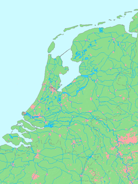
- map shows waterbodies , rivers and canals in Netherlands
derivative works
Derivative works of this file:
تاريخ الفايل
اضغط على الساعه/التاريخ علشان تشوف الفايل زى ما كان فى الوقت ده.
| الساعه / التاريخ | صورة صغيرة | ابعاد | يوزر | تعليق | |
|---|---|---|---|---|---|
| دلوقتي | 13:00، 14 اكتوبر 2015 | | 580 × 772 (91 كيلوبايت) | Io Herodotus | Afsluitdijk |
| 15:12، 16 اكتوبر 2005 |  | 580 × 772 (77 كيلوبايت) | Michiel1972 | cor. | |
| 13:35، 16 اكتوبر 2005 |  | 580 × 772 (77 كيلوبايت) | Michiel1972 | *map shows waterbodies , rivers and canals in Netherlands *based on free-licence data/map software http://www.demis.nl/home category:Maps of the Netherlands |
استخدام الفايل
مافيش صفحات بتوصل للفايل ده.
استخدام الملف العام
الويكيات التانيه دى بتستخدم الفايل ده:
- الاستخدام ف br.wikipedia.org
- الاستخدام ف en.wikipedia.org
- الاستخدام ف fr.wikipedia.org
- الاستخدام ف nl.wikipedia.org
- الاستخدام ف ro.wikipedia.org