ملف:Northern Ireland counties + districts.png

حجم البروفه دى: 746 × 599 بكسل. الأبعاد التانيه: 299 × 240 بكسل | 598 × 480 بكسل | 956 × 768 بكسل | 1,275 × 1,024 بكسل | 1,672 × 1,343 بكسل.
الصوره الاصليه (1,672 × 1,343 بكسل حجم الفايل: 441 كيلوبايت، نوع MIME: image/png)
الخلاصة
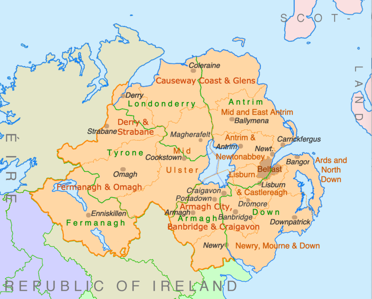
| وصف | Counties and disticts of Northern Ireland |
| تاريخ | |
| مصدر | File:Counties of Ireland.svg & File:United Kingdom Northern Ireland adm location map.svg |
| مؤلف | Ulamm (مناقشه) |
الترخيص
أنا، صاحب حقوق التأليف والنشر لهذا العمل، أنشر هذا العمل تحت الرخص التالية:

|
يسمح بنسخ و توزيع و / أو تعديل الوثيقه دى تحت شروط رخصة جنو للوثائق الحره، الإصدار 1.2 أو أى إصدار تنشره مؤسسة البرمجيات الحره؛ بدون أقسام ثابته و بدون نصوص أغلفه أماميه و بدون نصوص أغلفه خلفيه. نسخه من الرخصه متضمنه ف قسم اسمه GNU Free Documentation License. |
This file is licensed under the Creative Commons Attribution-Share Alike 4.0 International, 3.0 Unported, 2.5 Generic, 2.0 Generic and 1.0 Generic license.
- إنت حر:
- فى المشاركه – علشان نسخ و توزيع و بث العمل
- إنك تمزج – فى تكييف العمل
- بالشروط دى:
- نسبه ل – لازم يتنسب العمل للى مألفه بشكل مناسب و توفير رابط للرخصه وتحديد اذا حصلت تغييرات. ممكن ده يتعمل بأى طريقه معقوله، لكن مش بطريقه تشير ان مانح الرخصه بيوافقك على الاستعمال.
- مشاركه زي – لو عدت إنتاج المواد أو غيرت فيها، لازم تنشر مساهماتك اللى جايه من الأصل تحت ترخيص الأصل نفسه أو تحت ترخيص متوافق معاه.
اختار الرخصه اللى تناسبك.
تاريخ الفايل
اضغط على الساعه/التاريخ علشان تشوف الفايل زى ما كان فى الوقت ده.
| الساعه / التاريخ | صورة صغيرة | ابعاد | يوزر | تعليق | |
|---|---|---|---|---|---|
| دلوقتي | 22:28، 9 يوليه 2022 | | 1,672 × 1,343 (441 كيلوبايت) | Ulamm | some more names |
| 22:31، 8 يوليه 2022 |  | 1,672 × 1,343 (426 كيلوبايت) | Ulamm | + some places | |
| 12:38، 6 يوليه 2022 |  | 1,672 × 1,343 (383 كيلوبايت) | Ulamm | + Mid Ulster | |
| 12:03، 6 يوليه 2022 |  | 1,672 × 1,343 (381 كيلوبايت) | Ulamm | {{Information |Description=Counties and disticts of Northern Ireland |Source=File:Counties of Ireland.svg & File:United Kingdom Northern Ireland adm location map.svg |Date=2022-07-06 |Author=Ulamm (<span class="signature-talk">{{int:Talkpagelinktext}}</span>) |Permission= |other_versions= }} Category:Maps of Northern Ireland Category:Maps by Ulamm == {{int:license-header}} == {{self|GFDL|cc-by-sa-all|migration=redundant}} |
استخدام الفايل
مافيش صفحات بتوصل للفايل ده.
استخدام الملف العام
الويكيات التانيه دى بتستخدم الفايل ده:
- الاستخدام ف de.wikipedia.org
- الاستخدام ف ie.wikipedia.org
- الاستخدام ف mt.wikipedia.org