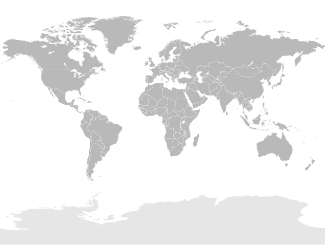
ملف:World map (Miller cylindrical projection, blank).svg

حجم معاينة PNG لذلك الملف ذي الامتداد SVG: 634 × 477 بكسل. الأبعاد التانيه: 319 × 240 بكسل | 638 × 480 بكسل | 1,021 × 768 بكسل | 1,280 × 963 بكسل | 2,560 × 1,926 بكسل.
الصوره الاصليه (ملف SVG، اساسا 634 × 477 بكسل، حجم الملف: 1.84 ميجابايت)
تاريخ الفايل
اضغط على الساعه/التاريخ علشان تشوف الفايل زى ما كان فى الوقت ده.
| الساعه / التاريخ | صورة صغيرة | ابعاد | يوزر | تعليق | |
|---|---|---|---|---|---|
| دلوقتي | 20:20، 2 سبتمبر 2021 |  | 634 × 477 (1.84 ميجابايت) | Allice Hunter | Adjusting |
| 20:05، 2 سبتمبر 2021 |  | 634 × 477 (1.84 ميجابايت) | Allice Hunter | Correcting Sudan and South Sudan | |
| 14:38، 13 مارس 2019 |  | 634 × 477 (1.84 ميجابايت) | Goran tek-en | Updating Montenegro and/or South Sudan as requested by {{u|Maphobbyist}}. | |
| 01:36، 18 مايو 2008 |  | 634 × 477 (1.84 ميجابايت) | Felipe Menegaz | {{User:João Felipe C.S/by}} {{Information |Description= {{en|Detailed SVG map with grouping enabled to connect all non-contiguous parts of a country's territory for easy colouring. Smaller countries can also be represented by larger circles to show thei |
استخدام الفايل
مافيش صفحات بتوصل للفايل ده.
استخدام الملف العام
الويكيات التانيه دى بتستخدم الفايل ده:
- الاستخدام ف de.wikipedia.org
- الاستخدام ف en.wikipedia.org
- الاستخدام ف fr.wikipedia.org
